Drone Photography • Metro Atlanta
Drone Photography Atlanta for Real Estate Listings
Showcase location, lot size, and curb appeal with crisp aerial photos captured safely and delivered fast—ideal for listings, new builds, and short-term rentals.
Why aerials work
Aerial imagery that helps buyers understand the property
Drone photography adds context that ground-level images cannot—showing proximity, lot lines, views, and neighborhood appeal in a single frame.
✔
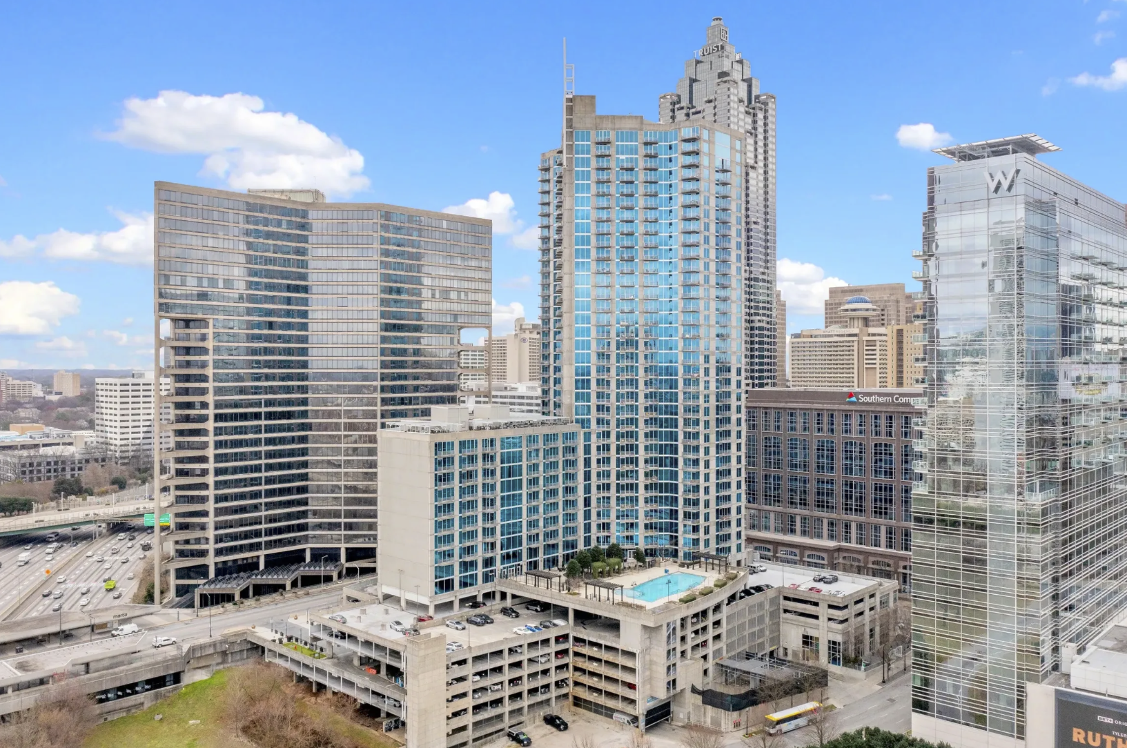
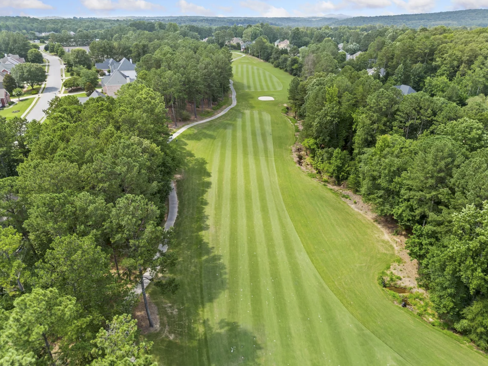
Location & context
Highlight nearby amenities, green space, and the surrounding neighborhood—perfect for buyers comparing areas.
✔
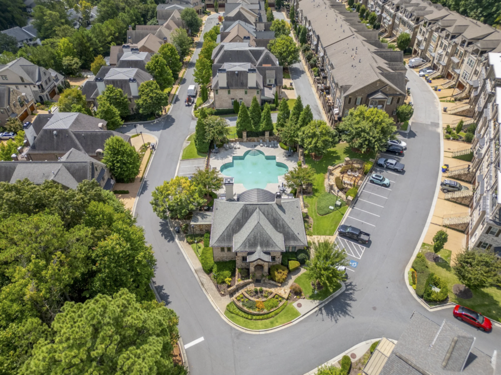
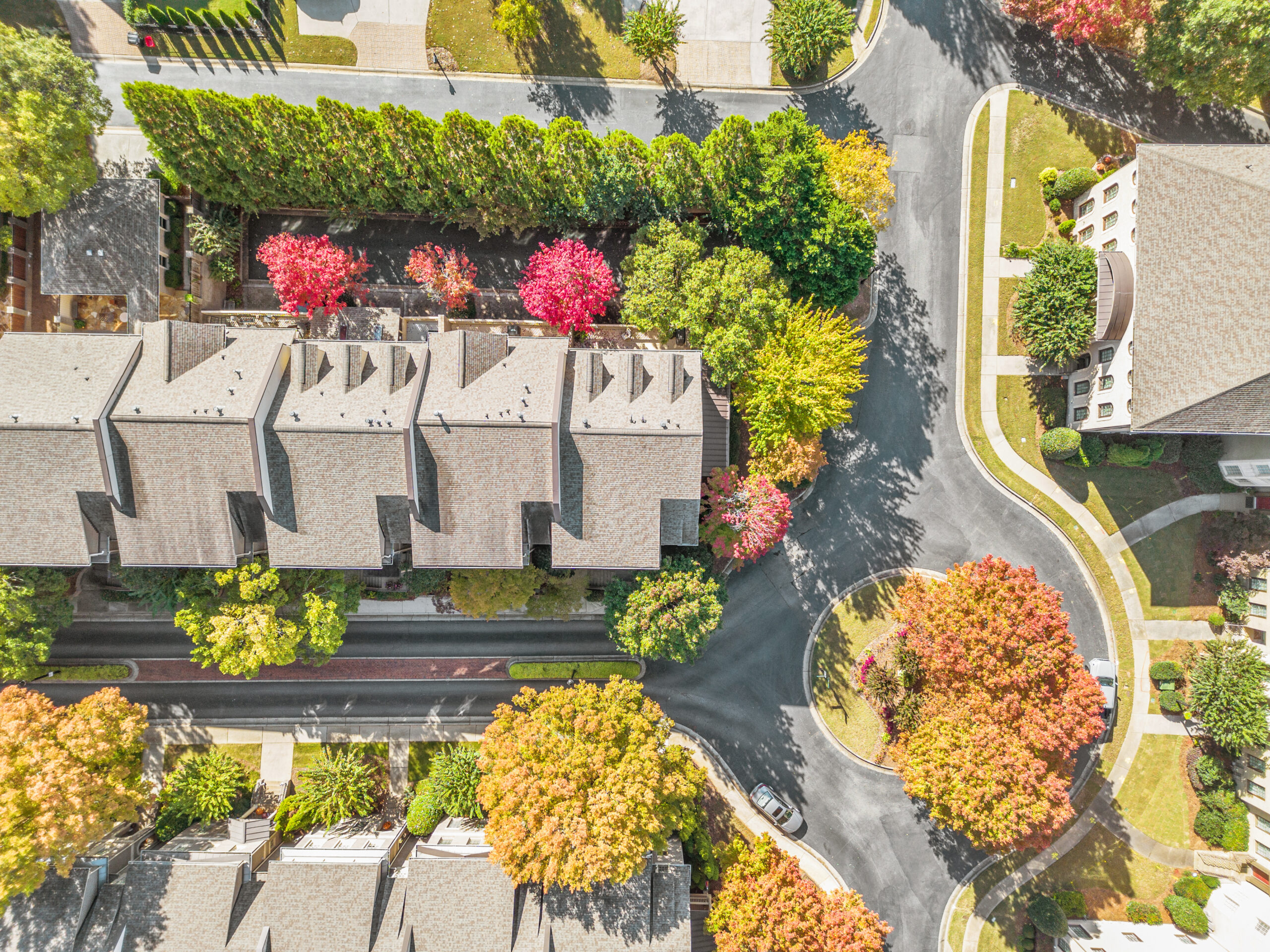
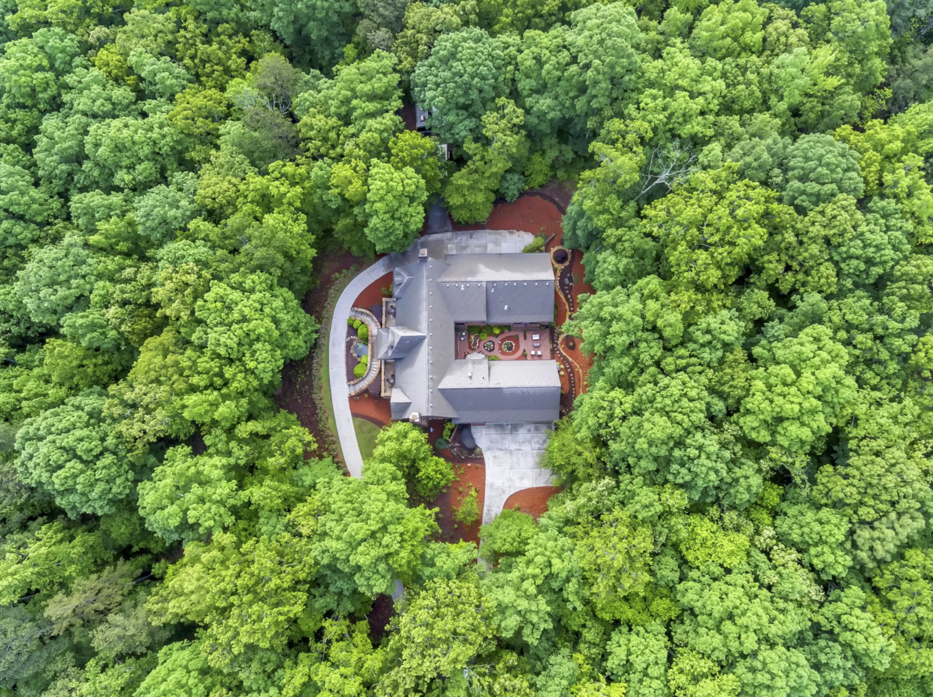
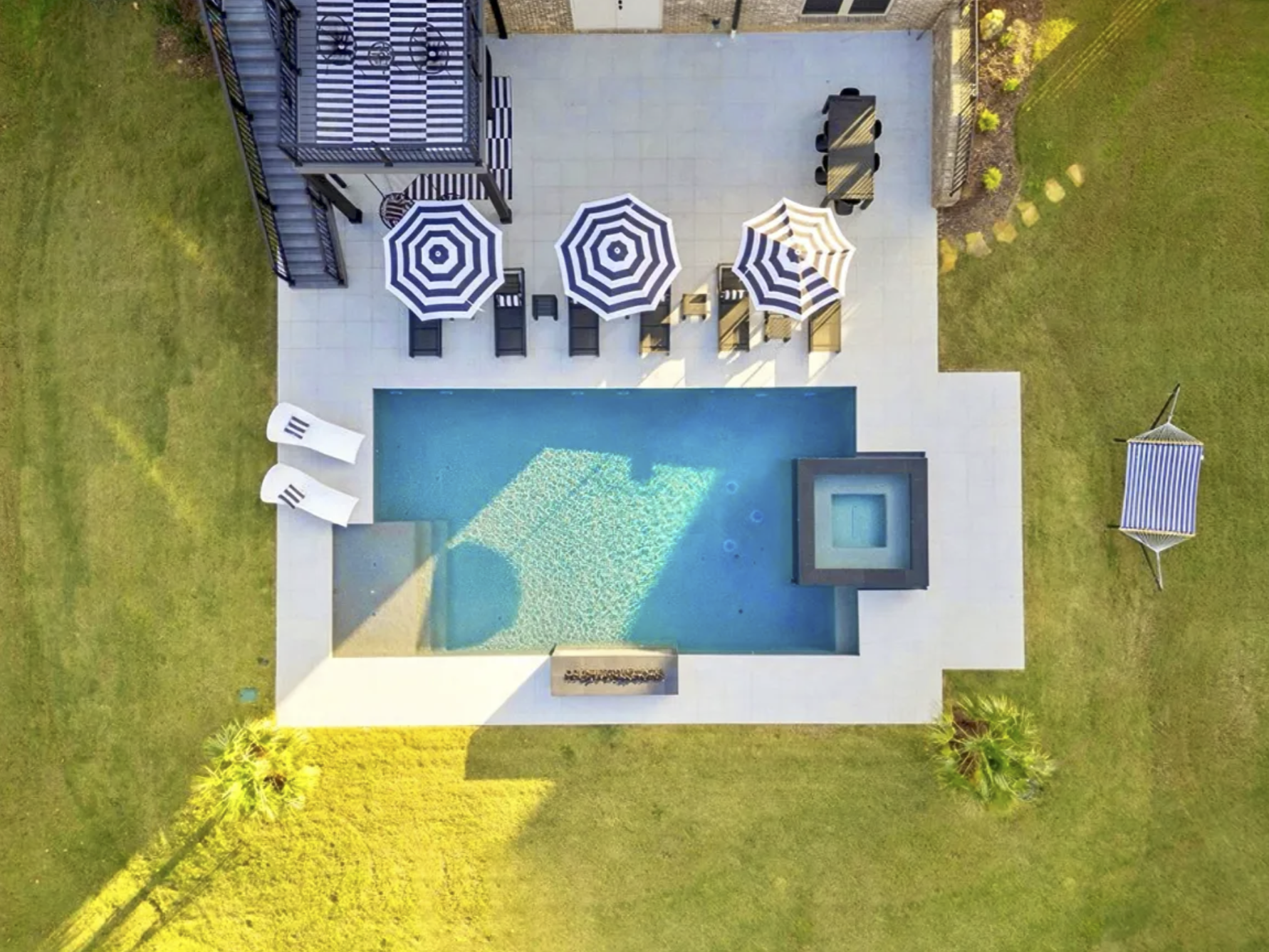
Lot size & features
Show acreage, pools, outbuildings, driveways, and landscaping clearly—especially valuable for larger properties.
What’s included
Drone photography services for Atlanta real estate marketing
Every shoot is planned for safety, composition, and listing performance. You receive web-ready and MLS-friendly files with consistent, true-to-life editing.
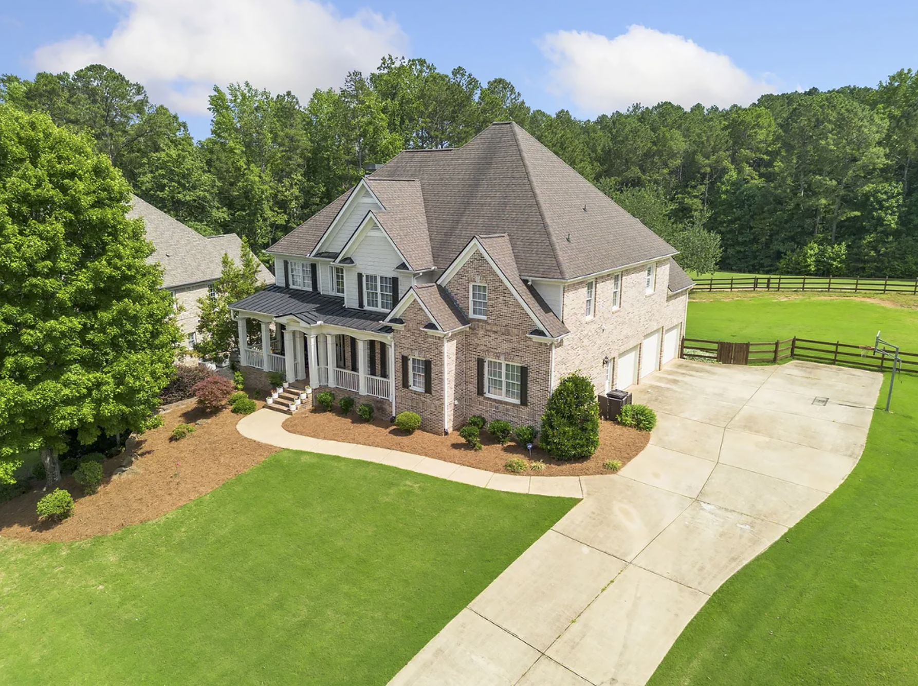
Aerial exterior photos
High-angle and oblique aerials that showcase the home, roofline, yard, and approach—great for curb appeal and overall layout.
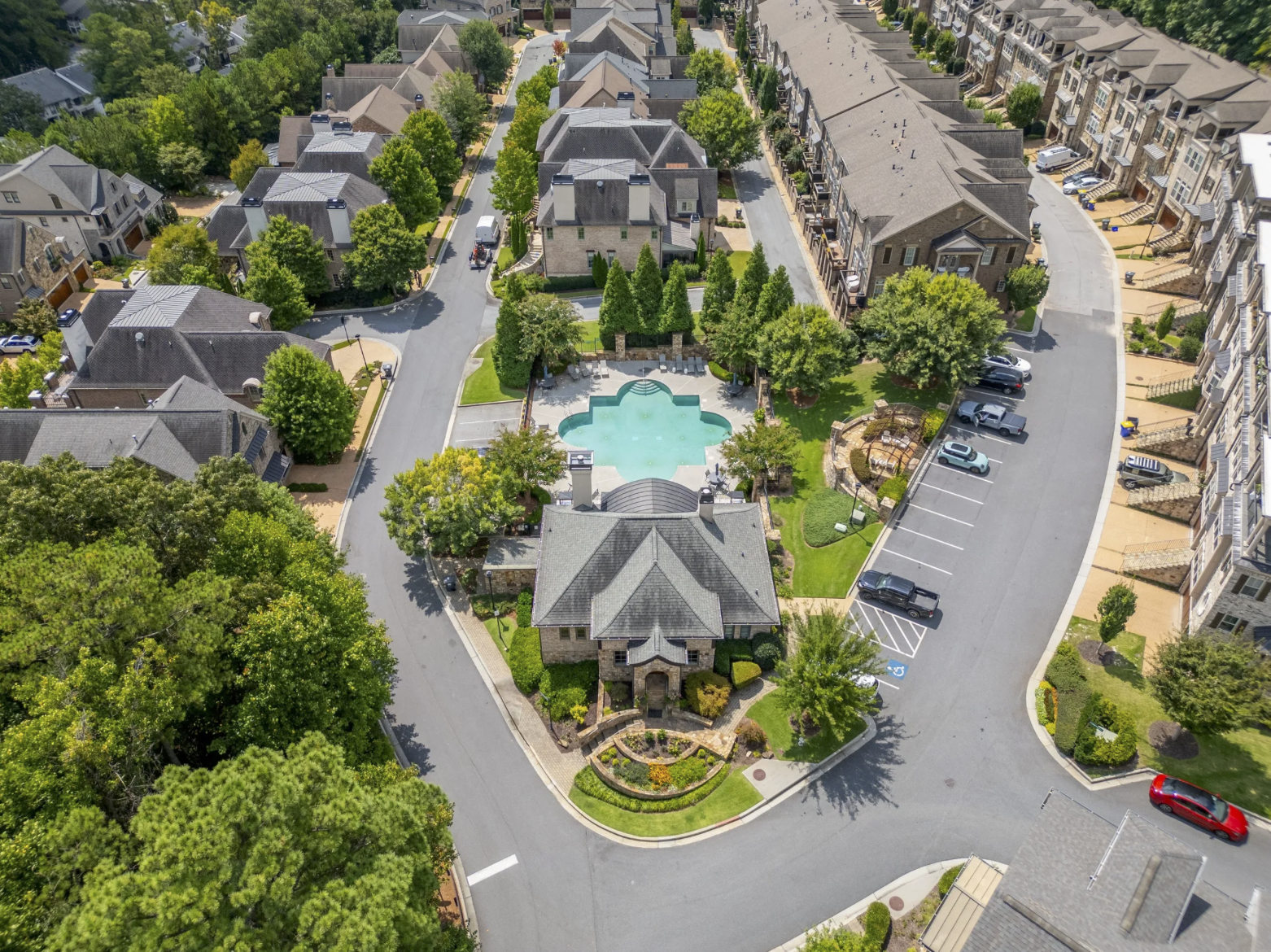
Neighborhood & proximity shots
Context images that help buyers understand what’s nearby (parks, retail, major roads) without overwhelming the listing.
Large lots, land & new builds
Ideal for acreage, developments, and construction progress—capturing boundaries, grading, and site placement.
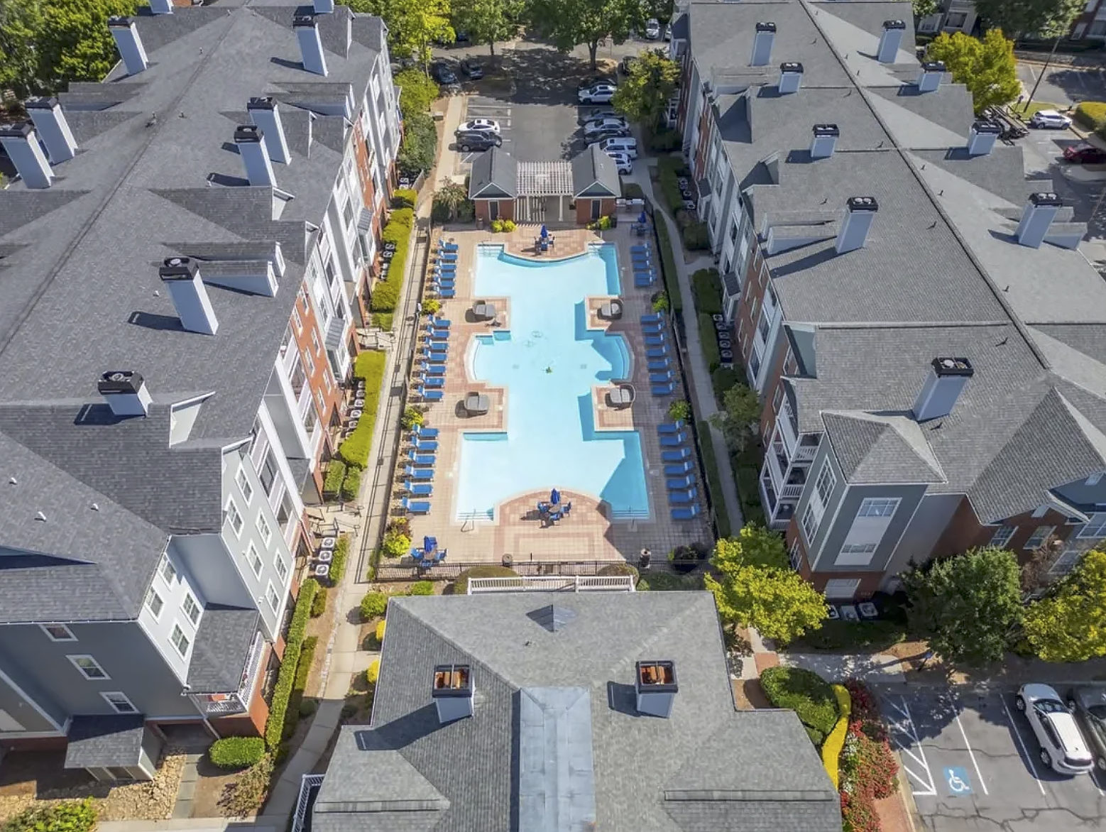
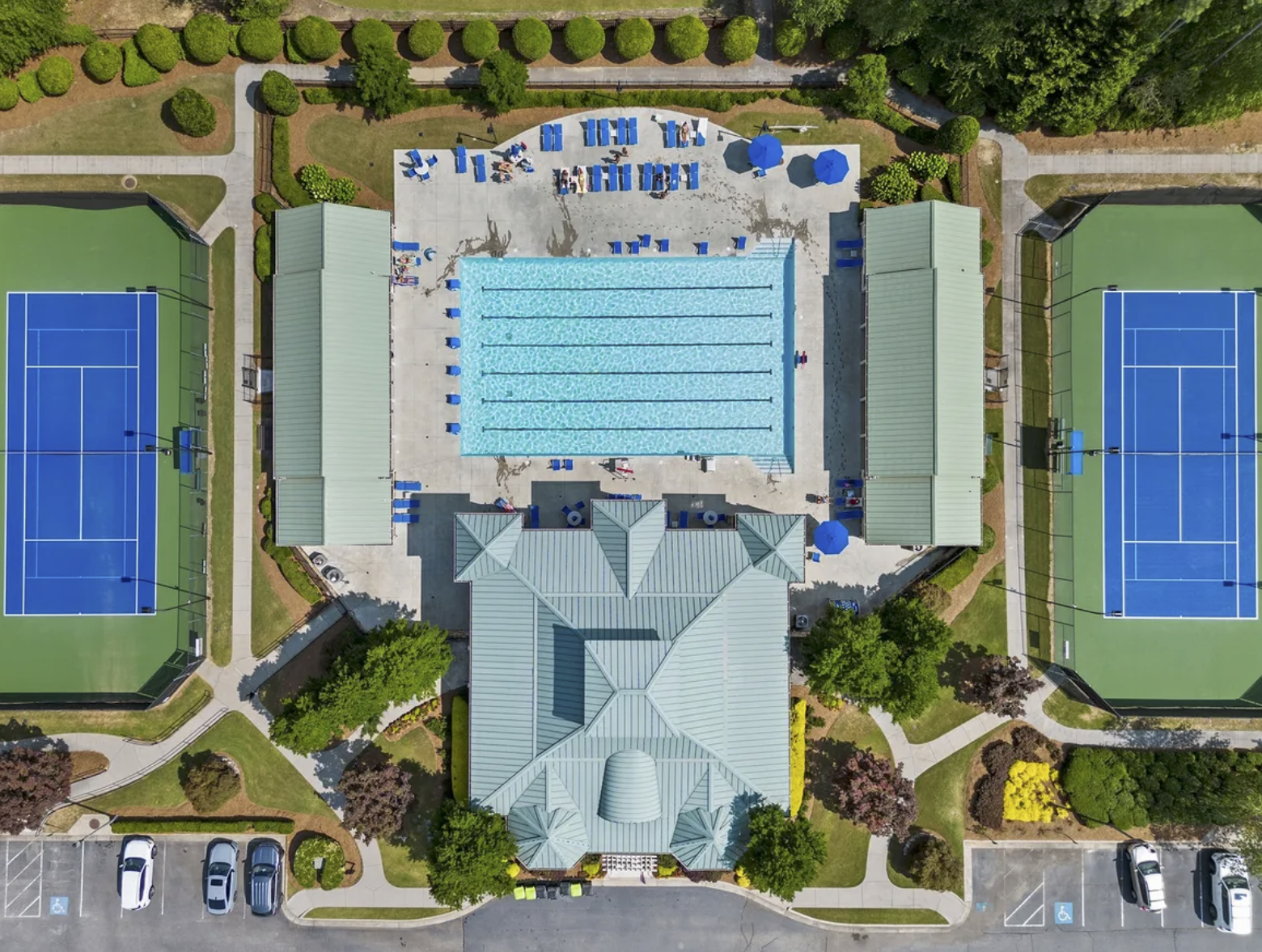
Amenities Coverage
Capture community features and property surroundings such as pools, parks, fitness centers, and outdoor spaces to highlight the lifestyle and added value of the property.
Drone photography examples
A selection of aerial perspectives commonly used for listings—skyline context, neighborhood views, and property-overview angles.


Drone photography FAQ
Common questions about aerial real estate photography in Metro Atlanta.
Do you provide FAA-compliant drone services?
Yes. Flights are planned with safety and airspace rules in mind, and each session is approached professionally to protect the property and surrounding area.
When is the best time of day for drone photos?
Late afternoon and golden hour often provide the most flattering light, but timing depends on the property’s orientation, tree cover, and the look you want for the listing.
Can you capture lot lines or boundaries?
Aerial angles can help illustrate property size and layout. If you need boundary overlays, we can discuss options and deliverables during booking.
How many aerial images will I receive?
It depends on the package and property size. Most listings benefit from a curated set of strong overview angles rather than a large volume of similar shots.
What is your turnaround time?
Fast turnaround is standard. Delivery timing is confirmed at booking based on scope and scheduling.
Can drone be added to interior photography or video?
Absolutely. Drone pairs well with interior photos, virtual walkthroughs, and floor plans for a complete marketing package.
Ready to elevate your listing?
Book drone photography in Atlanta
Tell me about the property and your timeline. I will confirm availability and recommend the best coverage for your listing.